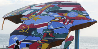
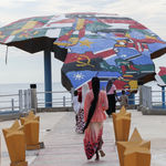
People stand beside a sculpture of the African continent, painted with the flags of African nations, at the Place du Souvenir Africain in Dakar, Senegal on September 3, 2026.
Africa could contain the United States, China, India and most of Europe. Yet the Mercator map makes it appear little larger than Greenland, an island one fourteenth its size. The image survived empire, independence and the digital revolution. Its endurance reveals a larger problem. Technical choices can become institutions and shape public knowledge after their purpose has passed.
Mercator shaped his 1569 projection for navigation, allowing sailors to trace a constant compass bearing in a straight line. The problem came later, when a tool made for the sea became the world’s picture of itself. It preserved direction at the expense of relative area. Used as a general world map, it enlarges northern land masses and reduces equatorial regions. Colonial schools carried it into African classrooms. Digital platforms gave the convention renewed reach. Why has independent Africa allowed this inherited image to endure?